This was a perfect day for a sail and we were refreshed from our day in Waupoos to spend a bit more time on the boat.

Our planned route was 27.2 nautical miles, should take us about 5 hours. I think there’s a bit of a shortcut east of marker 5, but we decided to play it safe and go around the west side of Melville Shoal.
Stellar launch but not a great start
Our launch from Waupoos went smoothly under motor, Rob stopped by to give us a quick wave as we left. As we passed the northern point of Waupoos island we decided to throw our sails up. And we struggled, again, with getting the main sail up. Did a better job moving boat in and out of irons to wiggle the main past the lazy jacks. But it still took us a few attempts. Once we we were setup, we started pinching the wind, trying to go NE but couldn’t get East enough to avoid the shallow water. So we tacked. Kind of, things got hung up but we eventually tacked. Then we needed to tack again, then things went bad quickly.
Gavin was helping with the lines and went to release one of them but opened up the wrong spinlock. And yes, at this point, none of our spinlocks were labeled so nobody was upset about this, anyone could have made this mistake. Gavin opened up the genoa halyard wide open. Shoudn’t take long to realize that this caused a few problems. Our genoa immediately dropped about halfway down the forestay. Still with wind trying to open it up from the port side it was blowing over close to the water. I quickly pointed the boat directly to wind and, wow, everyone was amazing at reacting. Immediately the genoa sheets were loosened and the genoa halyard hooked up to a winch and moments later it was hauled back up to the top. And we were off and sailing again! In the back of my mind I was both impressed with how everyone handled this, and cringing a bit wondering if Rob was watching.
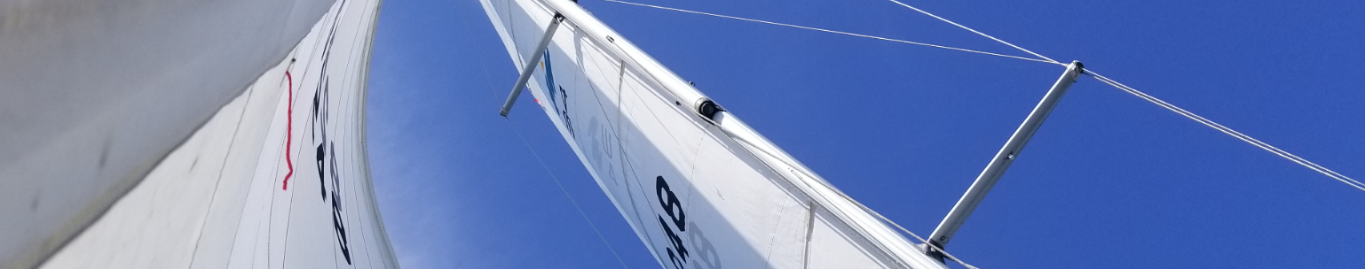
Beautiful day for sailing
It was a beautiful day and winds were coming at us from NE at a good angle where we could sail directly toward the South side of Amherst Island in a single tack.
It was a smooth, uneventful sail from this point. We turned off the autopilot and Lori took the helm and did amazing, look how straight that track is! The kids and I sat on the rails on the windward side to see if we could help balance the boat a bit. It was a comfortable and refreshing place to read a book with the small white cushions under us and legs dangling over the water.

We had to pinch the wind a bit more as we we get past the south side of Amherst Island. So as an experiment, we moved the foresail cars further back along their track, about 3/4 the way toward the cockpit. And moved the main sheet traveller fully over to the windward side. We then cranked the genoa sheet to try and have it hug the boat as much as possible. I also tightened up the backstay about six full pumps (I still have no idea what I’m doing with this thing). But it all made a huge difference. We put on the autopilot and enjoyed the view as we silently cruise past the windmills on Amherst Island.

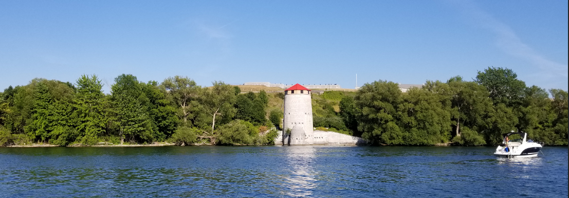
Here is the lonely marker east of Mellville Shoal.

Shortly after passing this marker the wind shifted and we decided to pull in the main, keep the genoa out and pulled tight to motorsail the remaining distance to Navy Bay. This also gave us some comfort having the motor running with the increased traffic (we could see more than one boat!).
Navy Bay
We made it to Navy Bay by 6pm.

You can see our track on Navionics here: http://tinyurl.com/ybo45ukl
Our friends from Vitae suggested we use this building on the North shore as a marker for a good point to anchor. Depths are fairly deep and then level out to 10 feet at this point.

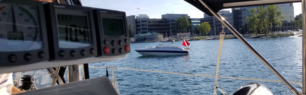
We never had to anchor next to anyone before so it took us a bit to figure out where to drop our anchor. Zoom in on the Navionics track link above to see how much we moved around to find the perfect spot. And to make it more stressful, we see a boat with a scuba flag. We didn’t want to drop an anchor on someone so we cruised by the power boat and spoke with them. They said it was only a single diver and he was pulling around an inner tube with him way off in the distance.
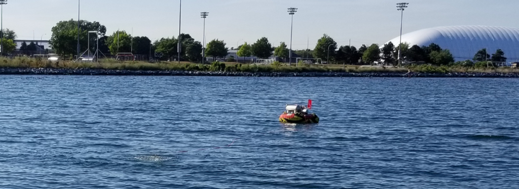
After anchoring we saw the diver swim back and unload into his boat. He then came over to talk with us afterwards. I was thinking he was going to say something about us anchoring too close but he just wanted to share with us what he was doing. He has a homemade electric air compressor in his inner tube and he spends the day with metal detectors finding things in the water. He showed us the things he found today. A cannon ball, a bunch of musket balls, a brass button from a uniform and a large coin!
Quick trip into town for supplies
Gavin, Owen and myself took the dinghy around the Royal Military College of Canada, Point Frederick, to downtown Kingston.

Notice momma bear keeping an eye on us from the boat. Here’s a video of the dinghy almost at full speed. Not super fast but much better than paddling!
[googleapps domain=”drive” dir=”file/d/1Zzz5yCQQ-9XivdAHPZ-fPXLtSNbjxVKhGQ/preview” query=”” width=”640″ height=”480″ /]
We found a somewhat sketchy place to the south of the Wolf Island Ferry terminal. We were only going to be 10-15 minutes so weren’t too worried. After grabbing some groceries, supplies and some ice cream we hurried back to the boat.
The ferry had come in and must have raised a bit of a wake on the water. The boat was fine but noticed a black scuff on the side where it must have bounced against the creosote soaked pilings.

It was a nice quiet place to anchor. Winds were low coming from NE and waves were minimal. We find out later that this is not the place to be when the winds are coming from the south!
Tomorrow we head to our first anchor in the Thousand Islands!


4 Pingbacks