We find out why anchoring at Halfmoon Bay was difficult and then spend the day at Little Bluff Conservation Area. That afternoon we head home via the more protected northern route, Adolphus Reach.
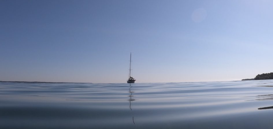
Date: August 1, 2020 9am
Distance: 1NM
Time: Felt like 2 hours
Weather: Sunny, calm some wind building North East (5-10 knots).
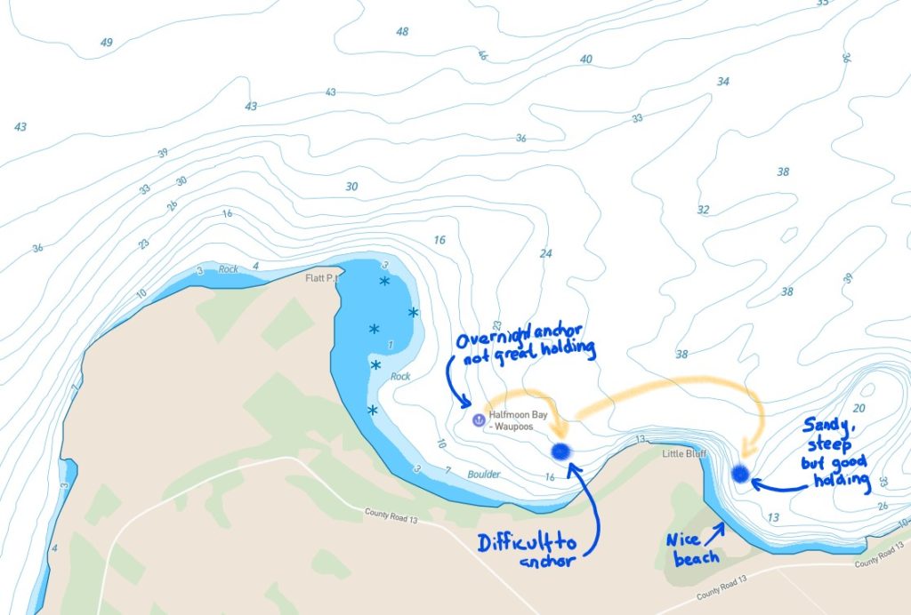
Yesterday, when we arrived at Halfmoon bay late at night, it took a few attempts to find a spot with decent holding. Today we moved closer to the Western side of Little Bluff and discovered why it was so hard to anchor. Again, it was a struggle to anchor. I jumped into the water to figure out what was going on.
The ground looks soft and the surface is sand with rocks, but just under that thin layer is solid bedrock. We just got lucky in hooking a small rock. Definitely need to go back and explore the area to figure out the best places to anchor.
We decided to pull up our anchor and try the Eastern side of Little Bluff.
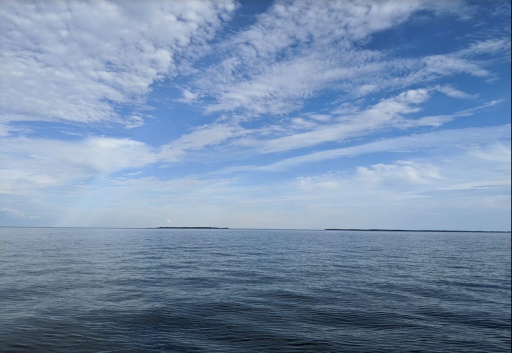
Little Bluff Conservation Area
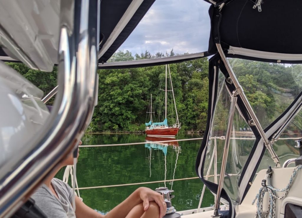
There were a number of sailboats already anchored in front of the beach, all close to shore. We quickly found out why. The beach had a steep slope and the wind was coming in from the Northeast pushing us towards the beach. We dropped anchor at 20 feet and it dug in deep into the sand. Amazing how different the bottom is just on the other side of this point (Little Bluff).
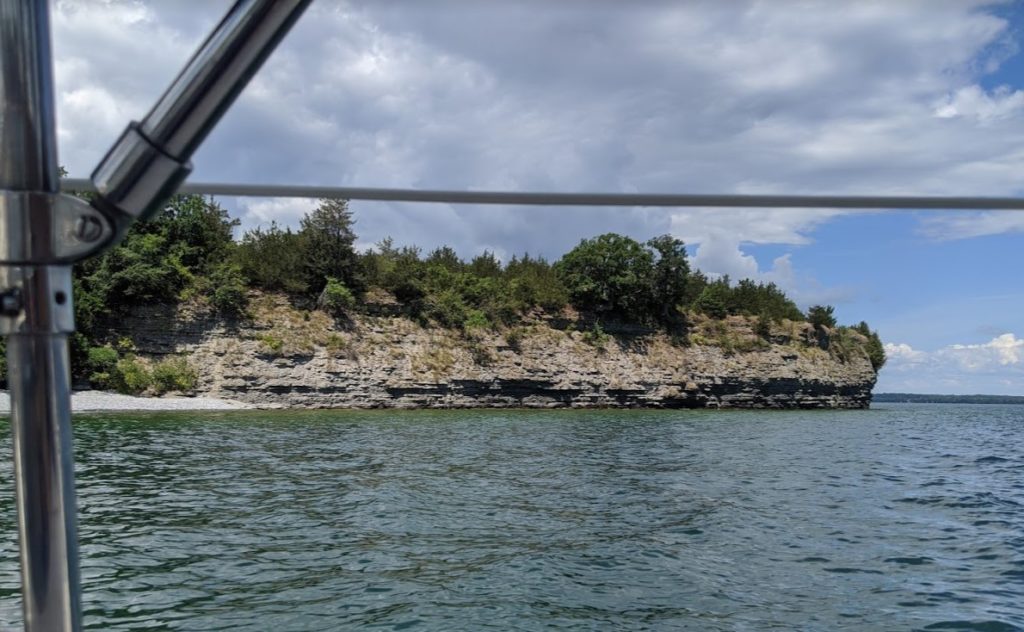
You can see the beach in the background. We felt like we were really close but after diving into the water we saw that we had plenty of depth, even if we drifted a bit closer to the beach.
We spent the day just hanging out and swimming. We found out that the Little Bluff Conservation Area was closed. We found out that there was a large party the previous weekend and the partiers left a bunch of garbage behind.
That afternoon we had a delicious meal on our boat. Baked brie cheese topped with a fig sauce. We cooked up some marinated chicken, cut it up and put it on top of a pre-packaged spinach salad. Mmm… it was soo good.
One of the other boats brought out a fun toy, it was an electric foil surfboard. It looked very similar to this:
It was just as smooth and quiet as the video above shows. But you could tell from the different riders that it wasn’t that easy. One person made it look easy, others had some good wipeouts. Looked like a lot of fun, but I can’t justify the cost!
Heading Home
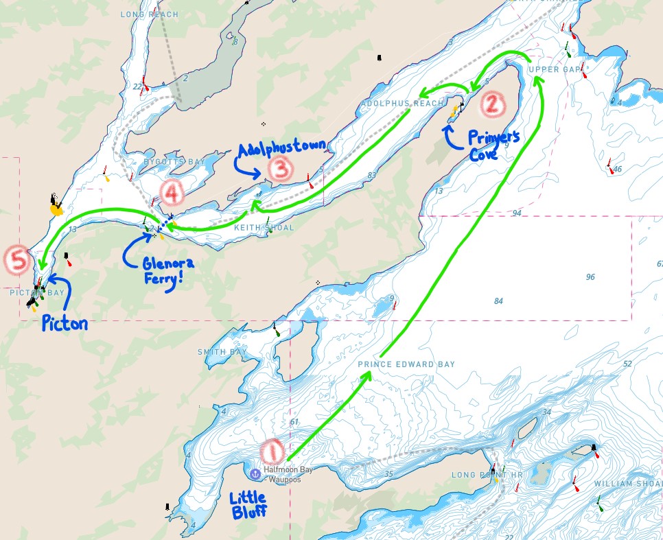
We were keeping a close eye on the weather forecasts. It was calling for high winds and possible storm. We were tempted to take the outside route and try to race ahead of the weather to make it to Presquile Bay to hide from the weather. But it’s a long way away and with our ripped sail and leaky engine we decided to take the safer option, head North through the Adolphus Reach. This inside route is protected.
Date: August 1, 2020 4:49pm
Distance: 27.2 NM
Time: 5 hours
Weather: North East wind, to calm, to stormy
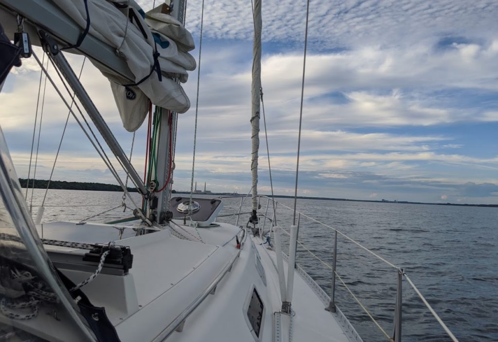
It was a beautiful day. Our plan was to get as far as we could, even if it got dark. We were expecting a full moon and a somewhat clear and bright night.
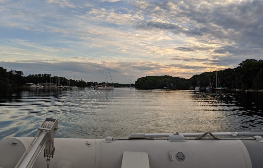
Prinyer’s Cove
During our search for places to stay for the night. We stopped off at the first logical option, Prinyer’s Cove. We’ve heard sailors talk positively about it a number of times so we wanted to check it out.
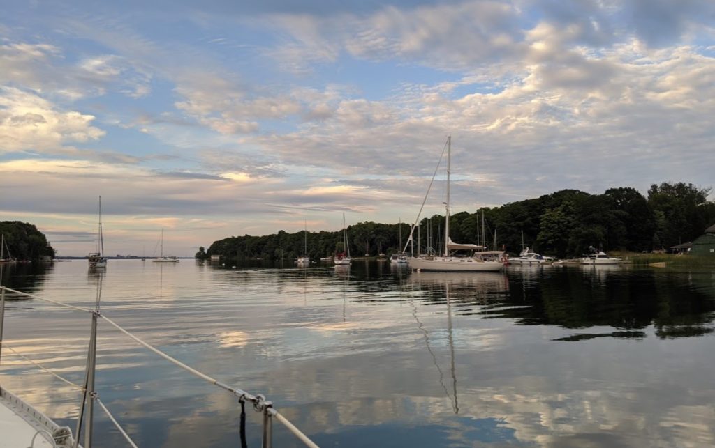
It was definitely a popular place for sailboats! And beautiful sailboats, we slowed down to admire a number of them.
But we couldn’t find a spot we felt comfortable anchoring at and we noticed all of the boats were securely attached to the numerous mooring balls along both shorelines. We had no idea how the mooring balls worked. We heard that some of them are run by the sailing club and they will come to your boat asking for payment if you use them. Leave me a comment if you know how these work!
We decided to move on and see if we can find another place to anchor.
All along the Adolphus Reach we noticed little bays that looked like good options for anchoring but they were blocked by empty mooring balls. Mooring balls everywhere!
We continued West on our search for a spot to anchor. It was starting to get dark. It was a beautiful night.
We tried one spot behind Lyones Island, south of Adolphustown. We were nervous with the shallow depth, weeds and attempted to get our anchor to bite twice. Then had visions of the same surface we saw in Halfmoon Bay and decided to move on.
It was starting to get dark and overcast so we weren’t getting much light from the moon. Getting a bit nervous now. The weather reports were increasing the probability of high Southerly winds overnight. We decided to head straight to Picton.
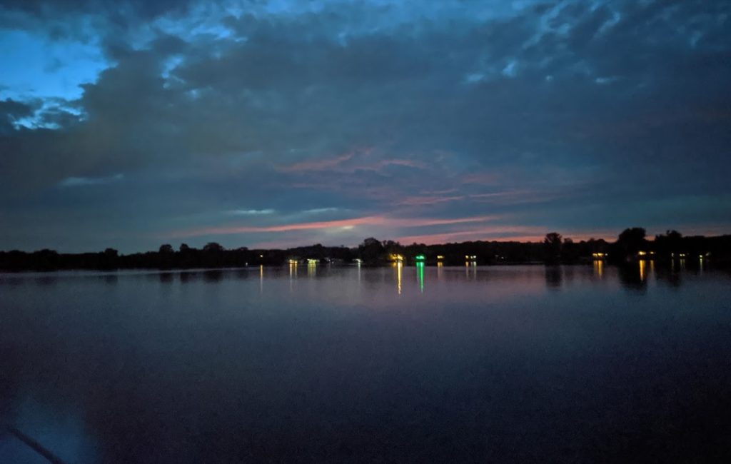
We are now mostly navigating by lights and Navionics (and Raymarine as backup). At one point I’m looking ahead trying to make sense of all the lights. Is it a factory? Is it a boat? Lori starts to say, watch out for the Ferry. I’m looking ahead and trying to make it out, I think it’s a factory on land. She then brings it up again, with more urgency. I’m still doubtful and ask, what should I do? She shouts back, “Stop”. I still don’t see what the big deal is but I recognize that tone of voice and throw the boat into reverse. And then I see it, emerging from behind our port side. A ferry cutting right across in front of us.
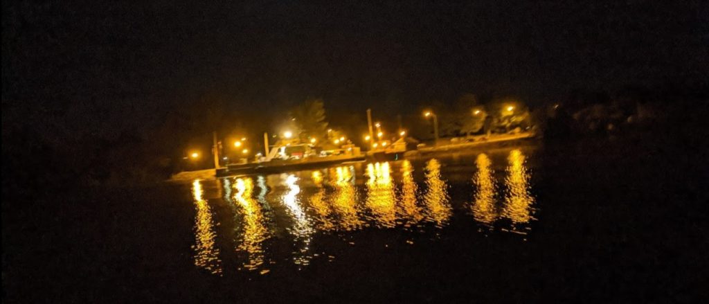
I’m glad Lori was keeping an eye on my blind side of the dodger! I wasn’t expecting much traffic on the water and was completely distracted by a different set of lights on the starboard side of the boat. And I definitely wasn’t expecting a ferry launching from one side of the channel to the other, right in front of us, at this time of night.
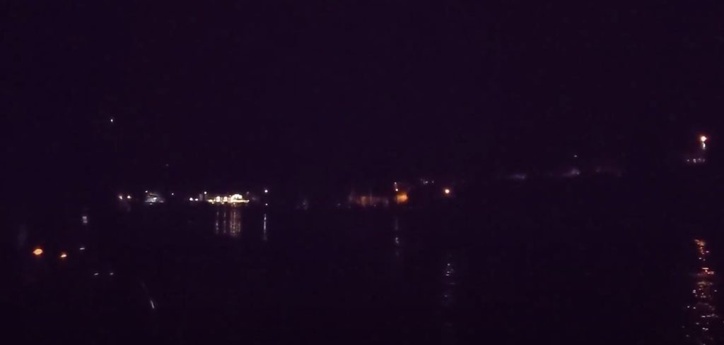
We continue on and make the turn South toward Picton. We’ve been to Picton before and there’s plenty of docks and potential anchor spots available. But it’s a narrow slight zig zag entrance guided by buoys. We reach the first turn, it’s a bit disorienting with the lights. And then Navionics goes dark.
No idea what caused it. Tried to troubleshoot, zoom in out, close, re-open, restart my phone. It never came back. Fortunately we have two backups, the main Raymarine MFD and Navionics on Lori’s phone. So we made it through with no problems and arrived in Picton.
Picton
It was a stressful night and wasn’t mentally ready to anchor. Also concerned about the incoming weather. We then saw the mooring balls on either side of the channel. I was done, ready to take a chance to borrow one of the mooring balls for the night. It was unlikely someone else would be coming in tonight to use it and we will be gone by first light. We found a newer looking mooring ball and it seemed sturdy so we tied up to it, turned off the motor and sighed in relief. Thank you to whoever put this here and we hope you don’t mind us using it for the night!
Still anxious, I was up at 3am. The weather was changing, the halyards were starting to clang and a little bit of rain was coming down. In the distance, thunder. The boat starts to shudder as gusts started to come through. I’m glad we didn’t do the outside route and found a sheltered area for the night. But now worried, is the mooring ball strong enough?! I set our anchor alarm to a very tiny circle around the mooring ball and keep checking it.
At 4am, I’m up again, out on deck checking things. There was a large clunk noise, something on the bow. I don’t see anything, it may have been our anchor catching the lines to the mooring ball.
The weather calms down and I drift back to sleep.
Lessons Learned
- If you are having difficulty anchoring and all of a sudden get a sharp grab, it’s possible that you’ve just snagged a rock. Which could be OK if wind direction stays the same. Also keep a hand on the chain to feel the vibration as you are pulling, you can feel the difference between dragging through weeds vs dragging over rock.
- Have a backup plan for your backup plan. We’ve been along the Adolphus Reach several times and always thought there were lots of anchoring options. But these get difficult to spot as at gets dark. We really thought we would be staying in Prinyer’s Cove and our backup plan to find a spot to anchor didn’t work out so well for us. In retrospect we probably should have asked a local how the mooring balls worked.
- Double check your charts for ferry crossings. The Glenora Cable Ferry is marked on the charts but easy to miss. They are on a schedule and are fast and quiet! During the summer this ferry runs every 15 minutes so there’s a good chance it will be crossing when you go by.
- Listen to your lookout. I don’t think we would have collided but I’m glad I listened to Lori to stop the boat before we got too close to the ferry!
- Many municipal docks allow boats to tie up to their wall overnight. We found out the next morning that Picton allows this. We would have probably been more comfortable there than on an unknown mooring ball.
Next story from this trip: Hiding from the Storm in Belleville


1 Pingback